Guides & road trips · Atlas foothills
Marrakech to Ourika Valley and Imlil
Marrakech to Ourika Valley and Imlil are two different roads into the Atlas foothills, not one route. The R203 climbs the Ourika valley to Setti Fatma in 68 km; a branch through Asni reaches Imlil, the trailhead for Jbel Toubkal, in about 65 km.
- Distance
- 68 km
- Driving time
- 1 h 45
- Road
- R203
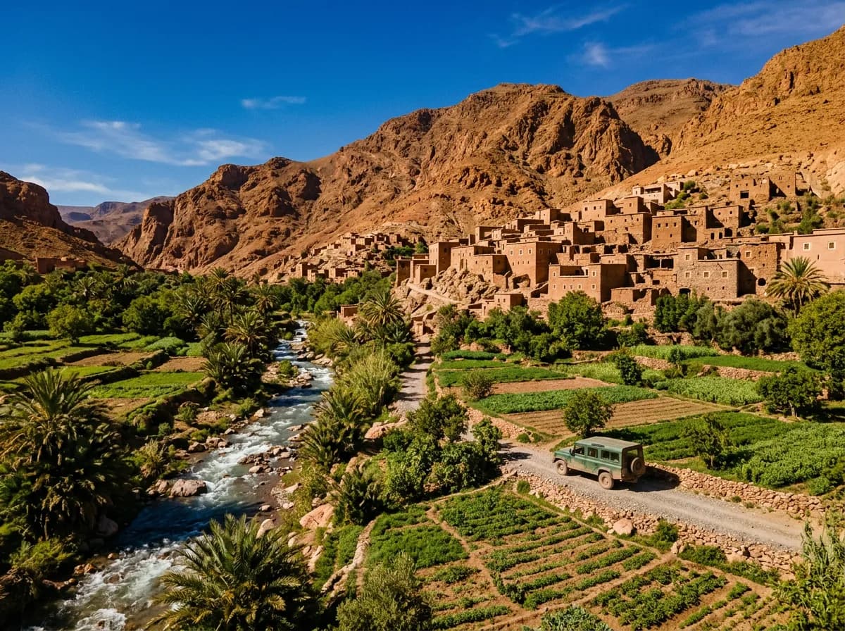
How far is Marrakech from the Ourika valley and Imlil?
| Distance | 68 km |
|---|---|
| Driving time | 1 h 45 |
| Road | R203 |
| Highest point | Setti Fatma, 1,500 m (Oukaimeden branch climbs to 2,600 m) |
| Toll | None — the R203 is toll-free for its full length |
| Fuel stops | Marrakech ring road, Tnine Ourika (km 33), Arhbalou (km 55) |
| Best season | April to June and September to November |
How do you get from Marrakech to Ourika valley or Imlil?
There are five realistic options: drive yourself in under two hours on either road, take a shared grand taxi from Bab Doukkala, join an organised minibus day tour, book a private driver who waits at each stop, or use a trekking agency's transfer to Imlil.
| Mode of transport | Duration | Cost | What it is worth |
|---|---|---|---|
| Self-drive | 1 h 45 to Setti Fatma, 2 h to Imlil | Fuel only — about 100 MAD of petrol round trip | The only option that lets you stop at Tnine Ourika, Arhbalou and the Toubkal viewpoints on your own schedule. |
| Shared grand taxi | 1 h 30 – 2 h | 40 – 60 MAD per seat | Frequent from Bab Doukkala at 40–60 MAD a seat, but six passengers share an old Mercedes with no fixed return time. |
| Organised minibus day tour | Full day, fixed schedule | 150 – 250 MAD per person | Includes a guide and lunch, but the operator picks the stops and the pace, not you. |
| Private driver | Full day, waits at each stop | 600 – 900 MAD | Worth it for families or anyone wanting Oukaimeden and Setti Fatma in the same day. |
| Trekking-agency transfer | 2 h to Imlil | 300 – 400 MAD one-way shared minivan | Timed to meet your guide and mules in Imlil if you are starting a Toubkal trek. |
Two facts decide the car: the Imlil road fords a stream at Aguersioual that rises after rain, and the Oukaimeden branch climbs to 2,600 m where snow and ice sit on the tarmac from December to March. Neither obstacle appears on the Ourika road itself, which stays flat tarmac to Setti Fatma.
Planning the drive
What is the drive from Marrakech into the Atlas foothills actually like?
It is two short, easy drives on sealed roads, not a mountain crossing. Both the Ourika valley and the road to Imlil climb gradually through orchards and Berber villages, and neither demands the low-range gearing or nerve that the Tizi n'Tichka does.
The first 20 km out of Marrakech run flat past Aghmat, through olive groves and roadside melon stalls. At the fork near Dar Caïd Ouriki the road splits: left for the Ourika valley, right for Asni and Imlil.
The Ourika branch narrows into a green, terraced valley, the river visible from the road for most of the climb. Tnine Ourika at km 33 holds the valley's biggest weekly market, on Mondays, when stalls block half the road. Arhbalou at km 55 has a run of restaurants built out over the water on wooden platforms. The tarmac ends at Setti Fatma, km 68, at 1,500 m, where a footpath leads up to the seven waterfalls.
The Asni branch climbs more gently through almond and olive terraces. Asni itself, at km 47, holds a Saturday souk and is the last town with a full range of shops. Beyond it the road narrows for the final 18 km to Imlil, crossing a stream bed at Aguersioual that carries running water for much of the year.
Imlil sits at 1,740 m and is built for trekkers rather than drivers: mule stands, gear shops and guide offices line the single street, and the tarmac stops at the car park. Jbel Toubkal, at 4,167 m the highest peak in North Africa, rises out of sight to the south.
A third road leaves the Ourika valley at Arhbalou for Oukaimeden, Africa's highest ski resort at 2,600 m. The 20 km branch climbs fast through pine forest and is unpaved in its final stretch, snow-covered from December to March and occasionally closed after heavy falls.
Know before you go
- The Oued Ourika is a genuine flood risk. A flash flood in August 1995 killed over 100 people in the valley without warning from clear skies upstream. Never park or picnic in the dry riverbed, and turn back if rain is heavy in the mountains above.
- The Aguersioual ford before Imlil rises fast after rain and becomes impassable to a saloon car in flood. Cross only when the water is shallow and clear, and use a 4x4 between November and March.
- The Oukaimeden branch carries snow and ice from December to March. Chains are sometimes mandatory at the gendarmerie checkpoint, and the road closes for a few hours after heavy snowfall.
- Tnine Ourika's Monday souk fills both lanes with parked vans and pedestrians between about 9 a.m. and 2 p.m. Add 30 to 45 minutes to the drive that day.
- Fuel runs out fast beyond the last towns: Arhbalou has no reliable pump towards Setti Fatma, and Asni has none towards Imlil. Fill up in Marrakech or at Tnine Ourika before continuing.
- Both village centres — Setti Fatma and Imlil — are single narrow streets shared with mules, porters and children. Drive at walking pace and expect to reverse for oncoming traffic.
What is worth stopping for on the way to Ourika and Imlil?
Five stops justify the drive: Tnine Ourika for its Monday souk, Arhbalou for lunch on the river, Setti Fatma for the seven waterfalls, Asni for the Imlil turn-off, and Imlil for the trailhead into Toubkal National Park. Oukaimeden adds a sixth in winter.
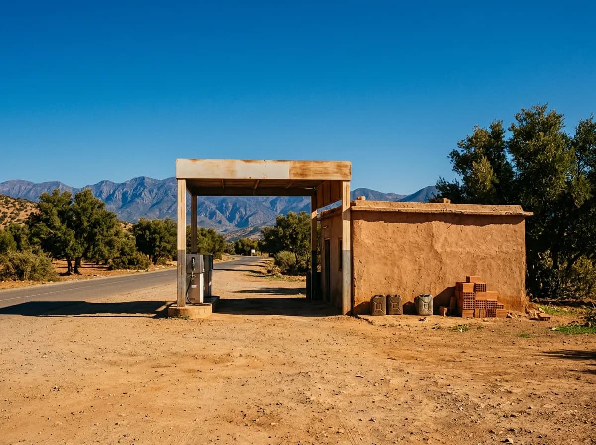
km 33
Tnine Ourika
The valley's market town, named for its Monday souk (tnine means Monday), where argan oil, wool blankets and mountain produce are sold from the roadside for a wider area than just the valley. Stop for the market, not the town itself.
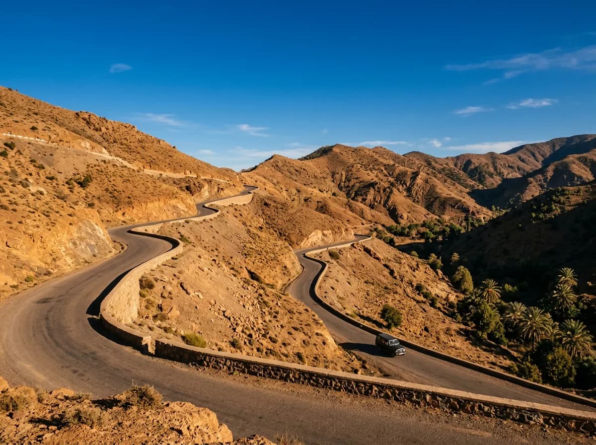
km 55
Arhbalou
A string of restaurants built on wooden platforms directly over the Oued Ourika, serving tagine and grilled trout to the sound of the river underneath. The valley narrows and greens noticeably from here to Setti Fatma.
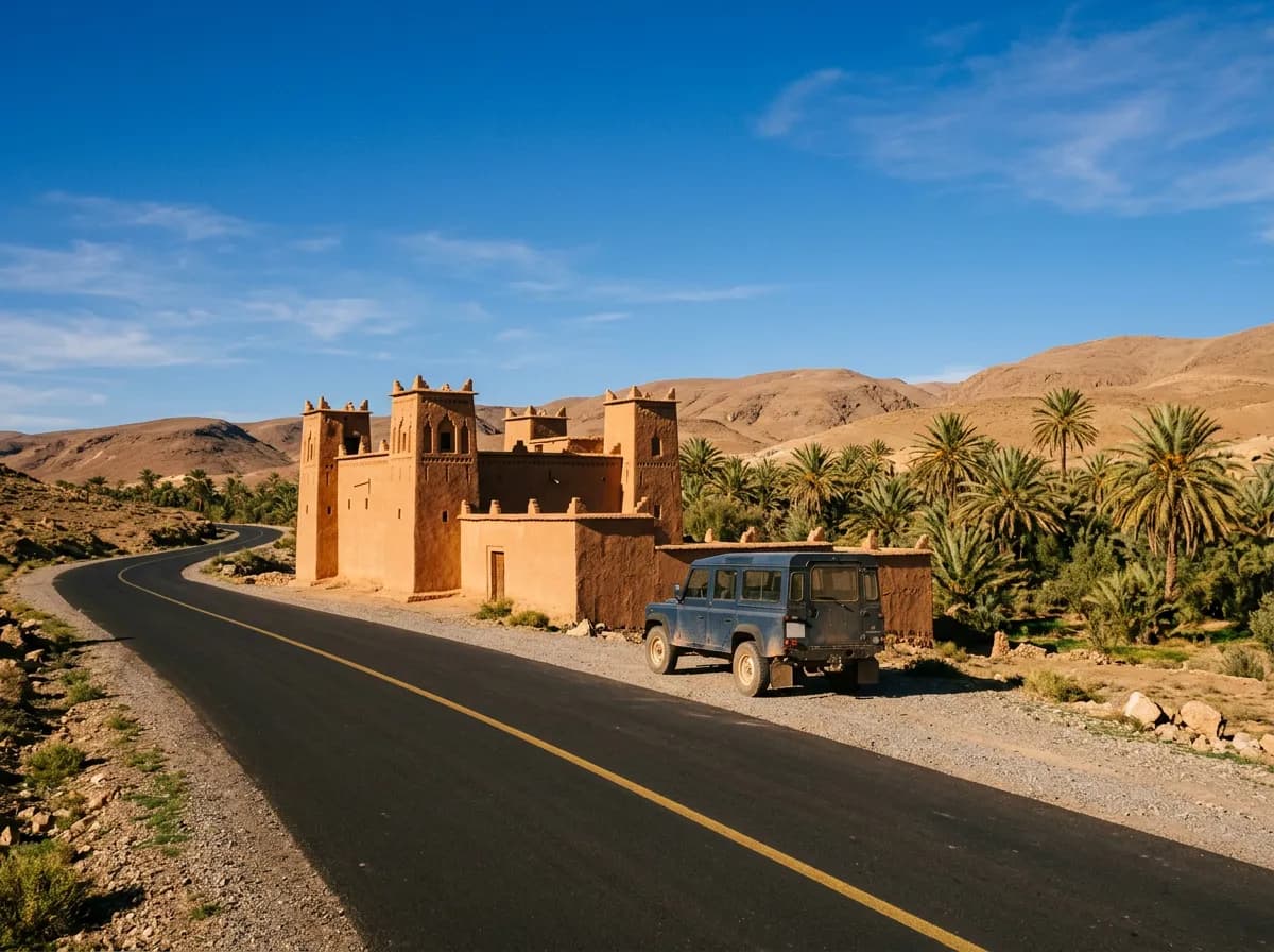
km 68
Setti Fatma
The tarmac ends here at 1,500 m, at the trailhead for the seven waterfalls of the Oued Ourika. The first cascade is a 30-minute walk; reaching all seven is a half-day round trip with a local guide.
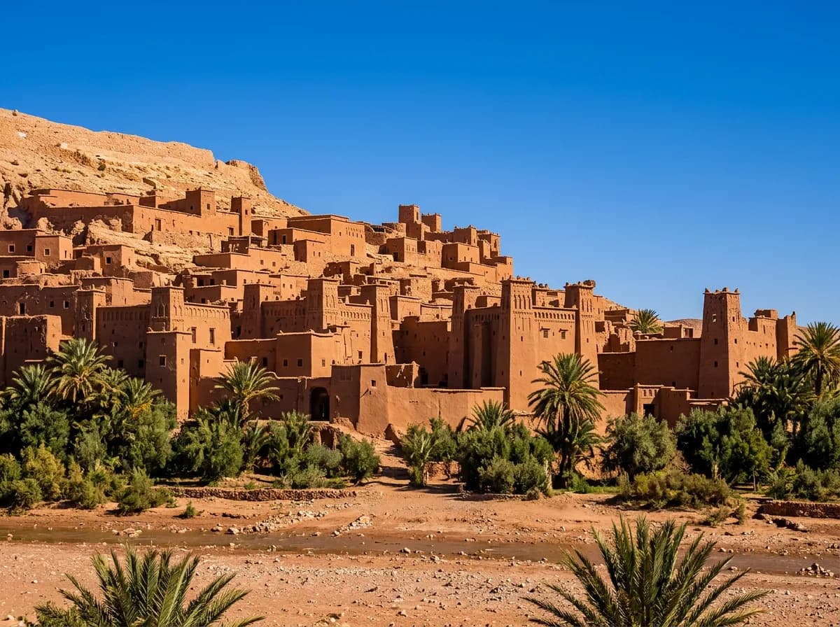
km 75
Oukaimeden
Africa's highest ski resort at 2,600 m, reached by a branch road from Arhbalou. Lifts run from December to March over pistes above the tree line; in summer the same slopes draw mountain bikers and rock-art visitors.
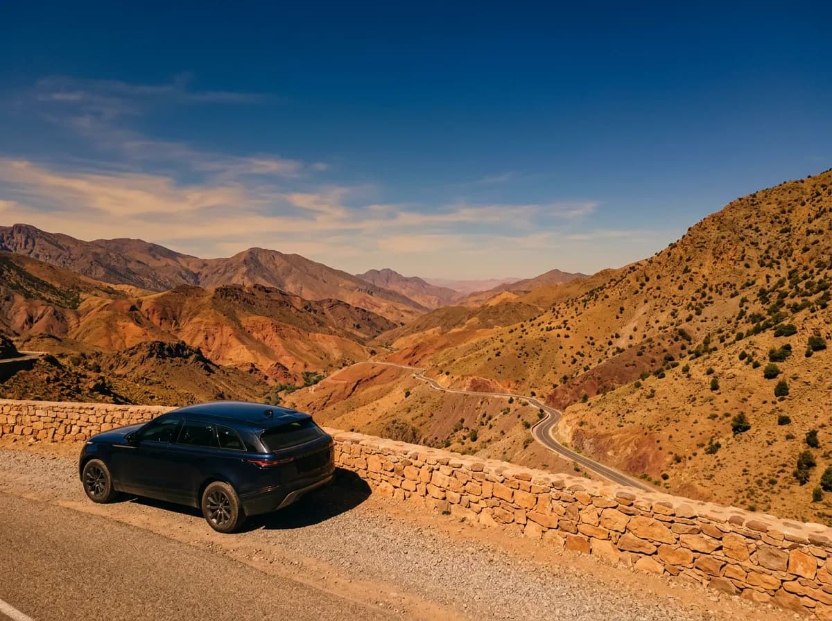
km 47
Asni
The junction town for Imlil, with a Saturday souk that draws traders from villages across the western High Atlas. The last supermarket and full-service fuel station before Imlil are here.
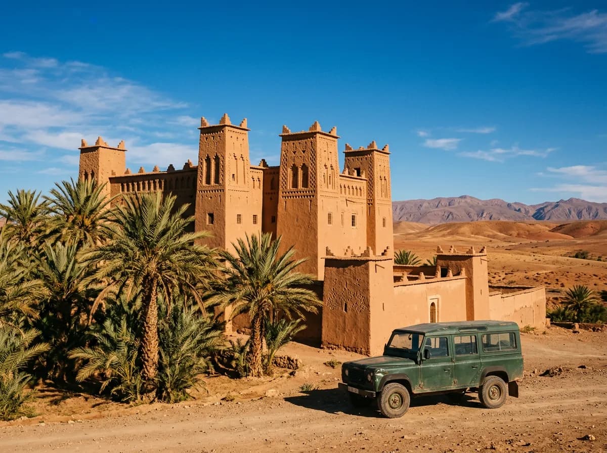
km 65
Imlil
The trailhead village for Toubkal National Park at 1,740 m, where guides, mules and gear shops line the single street. Jbel Toubkal, 4,167 m and the highest peak in North Africa, is reached from here on foot over two days.
How should you plan a day into the Ourika valley or to Imlil?
Treat Ourika as a half day and Imlil as a full one. Leave Marrakech by 9 a.m. for Setti Fatma and be back by early afternoon, or leave by 8 a.m. for Imlil and allow the whole day for the longer drive and a walk.
09:00 — Ourika: leave Marrakech
Head south on the R203 past Aghmat. Traffic thins quickly outside the city; the drive to Tnine Ourika takes about 45 minutes.
10:00 — Ourika: Tnine Ourika and Arhbalou
Browse the souk if it is Monday, then continue to Arhbalou for a riverside lunch before the last stretch to Setti Fatma.
12:30 — Ourika: Setti Fatma and back
Walk to the first or second waterfall, then start back. Marrakech is reachable again by mid-afternoon, in time for the medina before dark.
08:00 — Imlil: leave Marrakech via Asni
The Asni road runs through Tahanaout and climbs steadily. Stop in Asni for the souk if it is Saturday, then continue the final 18 km to Imlil.
10:30 — Imlil: arrive and walk
Leave the car at the Imlil car park and take the two-hour round walk to Aroumd, the first Berber village on the Toubkal trail.
14:00 — Imlil: return or stay
Drive back to Marrakech in about two hours, or hand the car over to a guide's team and continue on foot towards Toubkal base camp.
Which Marrakesh Car Rental vehicle suits the Ourika and Imlil roads?
An economy car covers the Ourika valley comfortably, since the R203 stays tarmacked all the way to Setti Fatma. The Imlil road and the Oukaimeden branch favour a 4x4 for the river ford, the winter snow and the higher ground clearance.
- Economy Car Rental MarrakechFrom €25 a day. Fine for Ourika, Tnine Ourika and Setti Fatma — the whole road is sealed.
- 4x4 & SUV Rental MarrakechFrom €35 a day with the Dacia Duster. The safer choice for the Aguersioual ford and the Oukaimeden snow.
- Automatic Car Rental MarrakechRemoves the gear-changing on the narrow bends above Arhbalou and on the Imlil approach.
- Car with Driver MarrakechFor the Aguersioual ford or the Oukaimeden snow road, if nobody wants to drive it themselves.
- Circuits from MarrakechCombine Ourika with the Ouzoud waterfalls or the Agafay desert in a longer loop.
What else do people ask about Ourika and Imlil?
How far is Marrakech from the Ourika valley?
- 68 km on the R203, about 1 h 45 to Setti Fatma at the end of the tarmac. The drive follows the Oued Ourika for most of its length and needs no special vehicle.
How far is Marrakech from Imlil?
- About 65 km via Asni, roughly 2 hours including the narrower final stretch. Imlil sits at 1,740 m and is the trailhead for Jbel Toubkal, 4,167 m and the highest peak in North Africa.
Do you need a 4x4 to drive to Imlil?
- No, a saloon car manages the road in dry weather. A 4x4 is safer between November and March, when the Aguersioual ford can rise and the final stretch can ice over.
Can you drive up Jbel Toubkal?
- No. The tarmac stops at the Imlil car park. Jbel Toubkal itself is reached on foot or by mule, with most trekkers taking two days via the Toubkal Refuge to the 4,167 m summit.
Is the Ourika valley worth a day trip from Marrakech?
- Yes. Setti Fatma and its waterfalls, the Monday souk at Tnine Ourika and riverside lunch at Arhbalou fill a half day easily, all on a sealed road under two hours from the city.
When does it snow at Oukaimeden?
- From December to March, with lifts running whenever cover is sufficient. The resort sits at 2,600 m, reached by a branch road off the Ourika valley at Arhbalou.