Guides & road trips · Sahara desert crossing
Marrakech to Merzouga: Crossing to the Sahara Desert
Marrakech to Merzouga is 560 km and takes about nine hours of driving, split over two days. The route crosses the Tizi n'Tichka, drops through the Dades and Todra gorges, then flattens across the hammada to the Erg Chebbi dunes.
- Distance
- 560 km
- Driving time
- 9 h
- Road
- N9, then N10, then the R702 into Merzouga village
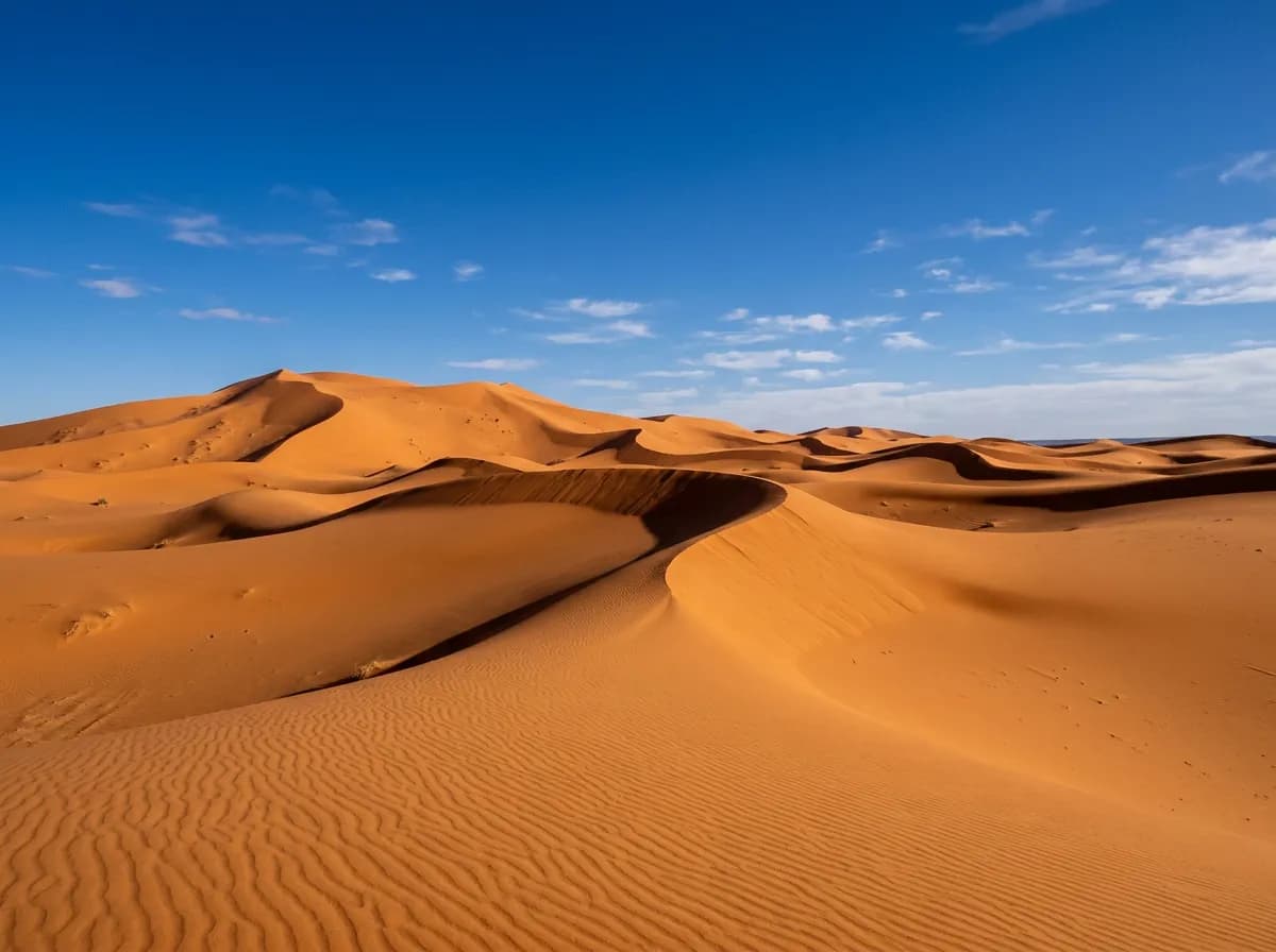
How far is Marrakech from Merzouga, and how long does it take?
| Distance | 560 km |
|---|---|
| Driving time | 9 h |
| Road | N9, then N10, then the R702 into Merzouga village |
| Highest point | Tizi n'Tichka, 2,260 m |
| Toll | None — no autoroute crosses the Atlas or the hammada on this route |
| Fuel stops | Ouarzazate (km 196), Skoura (km 238), Boumalne Dades (km 313), Tinghir (km 367), Erfoud (km 505) |
| Best season | October to April — the hammada exceeds 45°C between June and August |
How do you get from Marrakech to Merzouga?
There are five realistic options: drive yourself in about nine hours, join an organised three-day desert tour, take a CTM or Supratours coach to Rissani, share a grand taxi in relay, or hire a private driver for the full 560 km.
| Mode of transport | Duration | Cost | What it is worth |
|---|---|---|---|
| Self-drive | 9 h driving, spread over 2 days | Diesel only — about 450 MAD each way | The only option that fixes your own timing for the dunes at sunrise or sunset. |
| Organised desert tour | 3 days, 2 nights, return to Marrakech | From about €110 per person, camel trek and one desert camp night included | The default choice without a car. Fixed group itinerary, no control over the stops. |
| CTM / Supratours coach | 9 h 30 to Rissani, plus a 40-min taxi to Merzouga | 150–200 MAD per seat, plus about 30 MAD for the connecting taxi | Cheapest option, but the bus terminates 35 km short of the dunes at Rissani. |
| Shared grand taxi (relay) | 10–11 h with connections at Ouarzazate and Tinghir | 250–300 MAD per seat across the relay | Faster than the coach on paper, slower in practice once the changeovers are counted. |
| Private driver | 9 h plus stops, over 1 or 2 days | Day-rate package, arranged directly with Marrakesh Car Rental | Removes the driving entirely and still allows a stop at the Dades or Todra gorge. |
Every kilometre from Marrakech to Merzouga village is surfaced, so no vehicle needs off-road capability for the transfer itself. A diesel SUV holds a steady 100 km/h across the hammada and has the ground clearance for the unpaved final approach to some desert camps. Only crossing the Erg Chebbi dunes themselves calls for an equipped 4x4, and that vehicle class is capped at 250 km a day — too short for the 560 km transfer, which is why Marrakesh Car Rental books it as a separate local leg from Merzouga, not the drive out from Marrakech.
Planning the drive
What is the drive from Marrakech to Merzouga actually like?
It is two very different drives stitched together: a mountain crossing over the Atlas, then a long flat run across the hammada stone plain to the dunes. Split over two days, neither half is difficult; attempted in one, both become tiring.
The first 196 km to Ouarzazate climb the Tizi n'Tichka pass at 2,260 m — the same crossing used on the Marrakech–Ouarzazate route. Fuel and eat in Ouarzazate; it is the last proper town before the road turns east.
From Ouarzazate the N10 runs through Skoura's palm-grove kasbahs at km 238, then Kelaat M'Gouna at km 285, the centre of Morocco's rose-water industry. The road here is flat and fast, threading between the Atlas and the Jbel Sarhro.
Boumalne Dades, at km 313, marks the turn north into the Dades Gorge — a canyon of kasbahs and eroded rock known locally as the Route of a Thousand Kasbahs. The gorge itself is a detour, not the through-road.
Tinghir, at km 367, sits beside the Todra Gorge, where limestone walls rise to 300 m and close to about 10 m apart at the narrowest point. East of Tinghir the Atlas ends and the hammada begins.
From Tinjdad to Erfoud the road is dead straight across bare stone desert for over 100 km — the fastest, dullest and hottest stretch of the whole route. Erfoud, at km 505, is a fossil-cutting town and the last fuel stop.
The final 55 km run through Rissani, the old Alaouite capital at km 527, then along the R702 to Merzouga village at km 560, where the Erg Chebbi dunes rise directly behind the last row of hotels.
Know before you go
- Fill the tank at Erfoud without exception. It is the last fuel before Merzouga, and the hammada stretch has no services if you misjudge the range.
- The straight roads past Tinjdad invite speeding. Gendarme checkpoints with radar sit on this stretch; the posted limit through villages is 40 km/h and is enforced.
- Heat is the real hazard, not terrain. Between June and August the hammada regularly passes 45°C at midday — carry water and avoid driving the open stretch between 1 p.m. and 4 p.m. in summer.
- Occasional spring sandstorms reduce visibility on the Erfoud–Merzouga stretch to a few dozen metres. Slow down and use headlights rather than pushing on.
- Do not attempt the final unlit stretch into Merzouga after dark on a first visit. Hotels and camps arrange a meet-and-greet at the village entrance for exactly this reason.
- The Tizi n'Tichka can carry snow between December and February. Check conditions before the first leg in winter; the rest of the route is unaffected by weather.
What is worth stopping for between Marrakech and Merzouga?
Four stops earn the detour: the Valley of Roses at Kelaat M'Gouna, the Dades Gorge's kasbah-lined canyon, the Todra Gorge's 300 m limestone walls, and Erfoud, the fossil town 35 km short of the dunes. Splitting the drive over two days fits them all in.
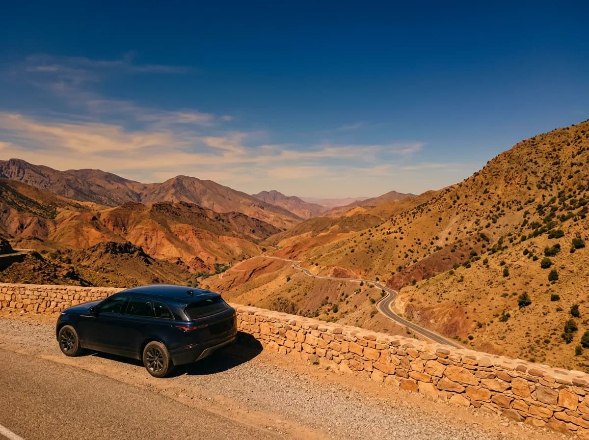
km 238
Skoura
An oasis of kasbahs standing among 800 hectares of date palms, the largest palmery east of Ouarzazate. The Kasbah Amridil, restored and open to visitors, is the best-preserved example on the route.
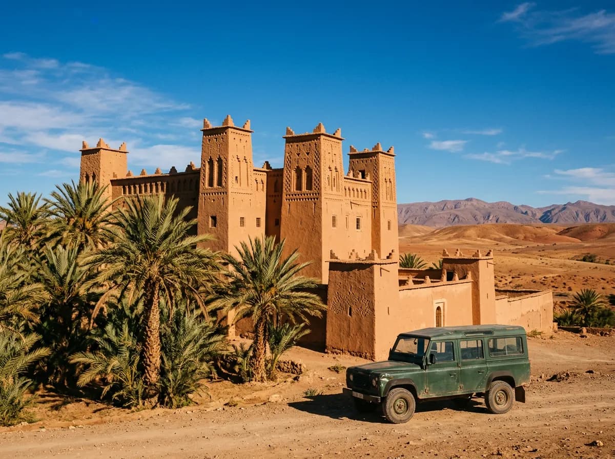
km 285
Kelaat M'Gouna (Valley of Roses)
The centre of Morocco's rose-water industry, where Damascena roses grown along the valley are distilled from April to June. Cooperatives sell rose water and oil year-round; the harvest festival falls in May.
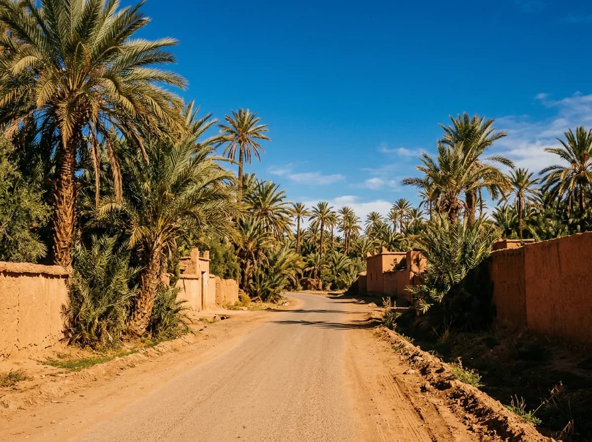
km 313
Dades Gorge
A canyon of kasbahs and folded red rock north of Boumalne Dades, known as the Road of a Thousand Kasbahs. The Monkey Fingers rock formation, eroded basalt columns above the valley floor, sits about 25 km up the gorge road.
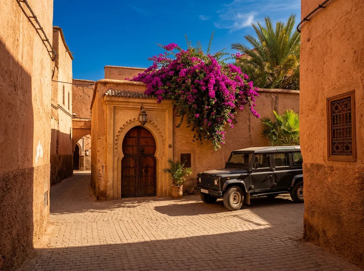
km 367
Todra Gorge
A limestone canyon above Tinghir where the walls reach 300 m and close to about 10 m apart at the narrowest point. A palmery lines the riverbed for the last few kilometres before the gorge itself.
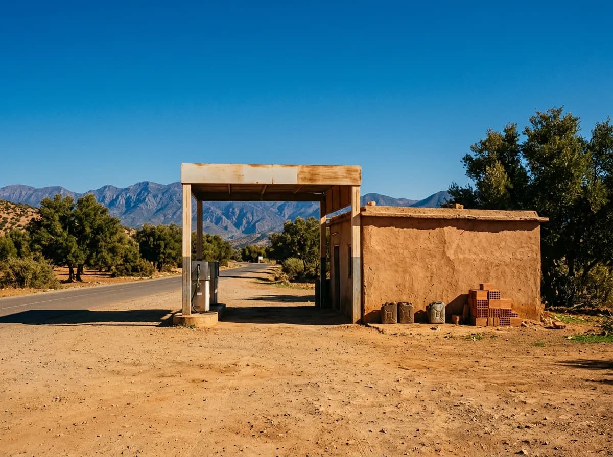
km 505
Erfoud
A fossil-cutting town where roadside workshops polish 350-million-year-old ammonites and orthoceras out of local marble. It is also the last fuel stop before Merzouga, 55 km further east.
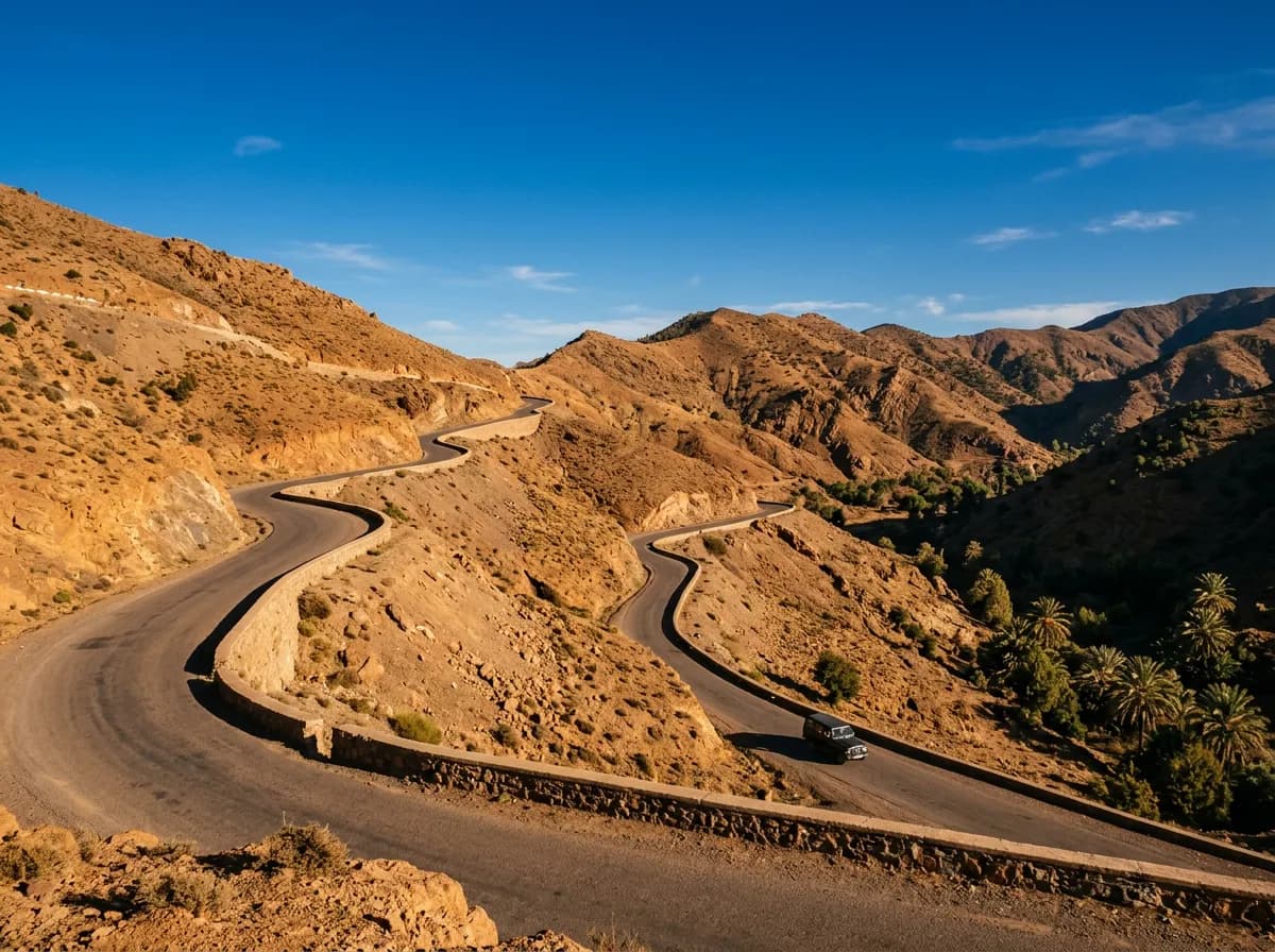
km 560
Merzouga and the Erg Chebbi dunes
The dunes rise directly behind the village, up to 150 m high across a field 22 km long and 5 km wide. Camel treks leave in the late afternoon to reach a desert camp for sunset and sunrise.
How should you plan the drive from Marrakech to Merzouga?
Split it into two days, not one. Drive to the Dades Valley on day one, cross the Todra Gorge and hammada on day two, and reach Merzouga in time for a sunset camel trek into the Erg Chebbi dunes.
Day 1, 08:00 — Leave Marrakech
Climb the Tizi n'Tichka to Ouarzazate, 196 km, then continue on the N10 through Skoura's palm groves at km 238.
Day 1, 13:00 — Kelaat M'Gouna and the Dades turn
Pass the Valley of Roses at km 285, then turn north at Boumalne Dades, km 313, for the Dades Gorge road if time allows.
Day 1, 17:00 — Overnight at Boumalne Dades or Tinghir
Both towns split the 560 km almost exactly in half. A kasbah guesthouse in the Dades or Todra Gorge makes better use of the stop than a roadside hotel.
Day 2, 08:00 — Todra Gorge
Walk the gorge at Tinghir, km 367, before the midday heat. The narrowest point, about 10 m wide between 300 m walls, is a 15-minute walk from the car park.
Day 2, 11:00 — Across the hammada to Erfoud
A straight, fast 138 km to Erfoud, km 505. Fill the tank here without exception; it is the last fuel before the desert.
Day 2, 15:00 — Rissani and Merzouga
Pass Rissani, km 527, and reach Merzouga village by mid-afternoon. Leave the car at the hotel and transfer by camel or 4x4 for a sunset trek into the dunes.
Day 3 — Return, or continue east
Retrace the route to Marrakech in one long day, or continue north to Fes via Errachidia and the Ziz valley instead of doubling back over the Tichka.
Which Marrakesh Car Rental vehicle suits the drive to Merzouga?
A diesel SUV covers the whole 560 km comfortably, since every kilometre to Merzouga village is tarmac. Only the final crossing of the Erg Chebbi dunes to a desert camp needs an equipped 4x4, arranged separately at Merzouga itself.
- 4x4 & SUV Rental MarrakechBest all-round pick for the full transfer. From €35 a day with the Dacia Duster.
- Automatic Car Rental MarrakechRemoves the gearchanges on the Tichka climb and the long hammada straights.
- Equipped 4x4 (Desert)For the short dune leg from Merzouga itself, capped at 250 km a day.
- 7-Seater Car Rental MarrakechFor six or seven travellers. The whole route is tarmac, so seats matter more than clearance.
- Car with Driver MarrakechFor the two-day crossing without anyone in the group driving the full 560 km.
- Circuits from MarrakechMerzouga as the eastern point of a longer desert and gorge loop.
What else do people ask about driving to Merzouga?
How far is Marrakech from Merzouga?
- 560 km by road, via the N9 over the Tizi n'Tichka and the N10 across the Dades valley and the hammada. There is no shorter paved route to the Erg Chebbi dunes.
Can you drive from Marrakech to Merzouga in one day?
- Yes. Nine hours of driving covers the 560 km, but arriving after dark skips the Dades and Todra gorges and pushes the camel trek to the next morning instead of sunset.
Do you need a 4x4 to drive from Marrakech to Merzouga?
- No. The N9 and N10 are surfaced for the full 560 km, including the final stretch into Merzouga village. A 4x4 matters only for crossing the Erg Chebbi dunes, arranged locally as a short transfer.
Is the road from Marrakech to Merzouga paved the whole way?
- Yes. Tarmac runs continuously from Marrakech to Merzouga village on the N9 and N10. Only the last few hundred metres of sand into a dune camp are unsurfaced, covered by camel or 4x4, not by the rental car.
Where should you break the journey to Merzouga overnight?
- Boumalne Dades or Tinghir split the drive almost exactly in half, at km 313 and km 367. Both sit beside the Dades or Todra gorges, so the overnight stop doubles as sightseeing rather than a detour from it.
When is the best time to drive from Marrakech to the Sahara?
- October to April. Summer heat on the hammada regularly passes 45°C between June and August, and the Tizi n'Tichka can carry snow in January and February, so spring and autumn suit the crossing best.