Guides & road trips · Desert day trip
Marrakech to Agafay
Marrakech to Agafay is 35 km and takes about 45 minutes by car. The route follows the R203 to Guemassa, then a graded piste crosses a stony hammada plateau to the desert camps. There are no dunes and no mountain pass.
- Distance
- 35 km
- Driving time
- 45 min
- Road
- R203, then a graded piste for the final 20 km
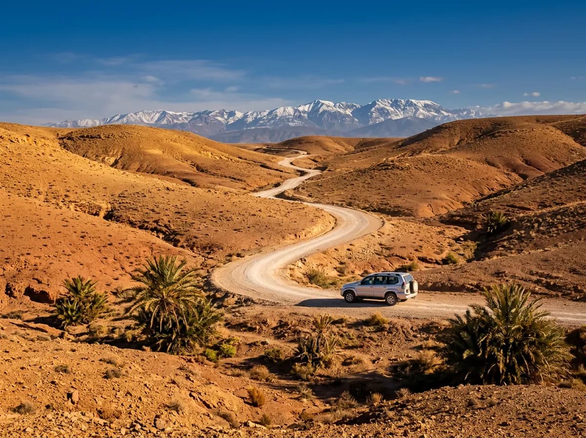
How far is Agafay from Marrakech, and how long does it take?
| Distance | 35 km |
|---|---|
| Driving time | 45 min |
| Road | R203, then a graded piste for the final 20 km |
| Highest point | None — a gentle rise to the Agafay plateau at about 560 m |
| Toll | None — no motorway serves this direction out of Marrakech |
| Fuel stops | Guemassa (km 12) — last fuel before the piste |
| Best season | October to April for cooler days; year-round for sunset visits |
How do you get from Marrakech to the Agafay desert?
Four options cover it: drive yourself in about 45 minutes, book a shared quad or camel excursion that includes transport, hire a private driver for a half-day rate, or take a petit taxi to Guemassa and continue with a pre-arranged camp transfer.
| Mode of transport | Duration | Cost | What it is worth |
|---|---|---|---|
| Self-drive | 45 min each way | Fuel only — about 30 MAD of petrol each way | The only option that lets you set your own return time for sunset. |
| Organised quad or camel excursion | Half-day, transport included | 250 – 450 MAD per person | Transport, guide and activity bundled together, on the operator's schedule. |
| Private driver | Half-day rate | 400 – 600 MAD | Useful for a group planning lunch or drinks at a desert camp. |
| Petit taxi to Guemassa | 20 min, then a camp transfer | 60 – 90 MAD taxi fare | Works only if the camp or pool club arranges the piste leg from there. |
The tarmac ends at the R203 turning near Guemassa. From there, a graded piste of about 20 km crosses the hammada to the camps and viewpoints. A saloon car crosses it at low speed in dry weather, but ruts form after rain and dust cuts visibility behind trucks. Higher ground clearance and a firmer ride make the last stretch noticeably easier.
Planning the drive
What is the drive to Agafay actually like?
It is short and flat, not a mountain crossing. The R203 leaves Marrakech through Guéliz and Guemassa, then a graded piste replaces tarmac for the final 20 km across a stony plateau. Expect dust and washboard ruts, not altitude or switchbacks.
The first 12 km follow the R203 past the Marrakech ring road and into open farmland around Guemassa, the last village with a fuel station and a proper shop before the desert.
Past Guemassa the tarmac ends at a signed piste turning. The graded track runs about 20 km across the hammada — a flat stony desert of gravel and dry scrub, not sand dunes. Rows of low black tents mark the desert camps and pool clubs that line the route.
The Atlas foothills stay visible on the southern horizon the whole way, and on clear winter mornings the snow line on Jbel Toubkal shows above them. There is no climb and no pass; the only change in altitude is a gentle 90 m rise onto the plateau.
The piste splits into three or four unmarked forks near the camps. Phone signal drops in patches; drivers without a guide note the name of their camp and ask at the first fork rather than gamble on a turning.
Know before you go
- Dust, not gradient, is the main hazard. Overtaking a truck on the piste throws up a cloud that hides the road for two or three seconds — slow down rather than pass blind.
- The piste washboards after rain and stays soft for a day or two. A saloon car bottoms out on the deeper ruts above 30 km/h; keep speed under that limit.
- Midday heat between June and September regularly passes 40 °C on the exposed plateau. Carry water in the car even for a short visit, and avoid walking far from the vehicle without shade.
- There is no fuel station beyond Guemassa, and phone signal drops out for the last 15 km of piste. Leave the city with at least a quarter tank and tell someone your return time.
- Sunset is the busiest period on the piste, with returning vehicles converging at once in fading light. Leave the plateau by dusk rather than after dark on an unfamiliar track.
What is worth stopping for on the way to Agafay?
Two stops matter: Guemassa for fuel and supplies before the piste, and the Agafay plateau itself, where desert camps and pool clubs sit among the dry hills. Lalla Takerkoust lake, 12 km further south, extends the trip into a full day.
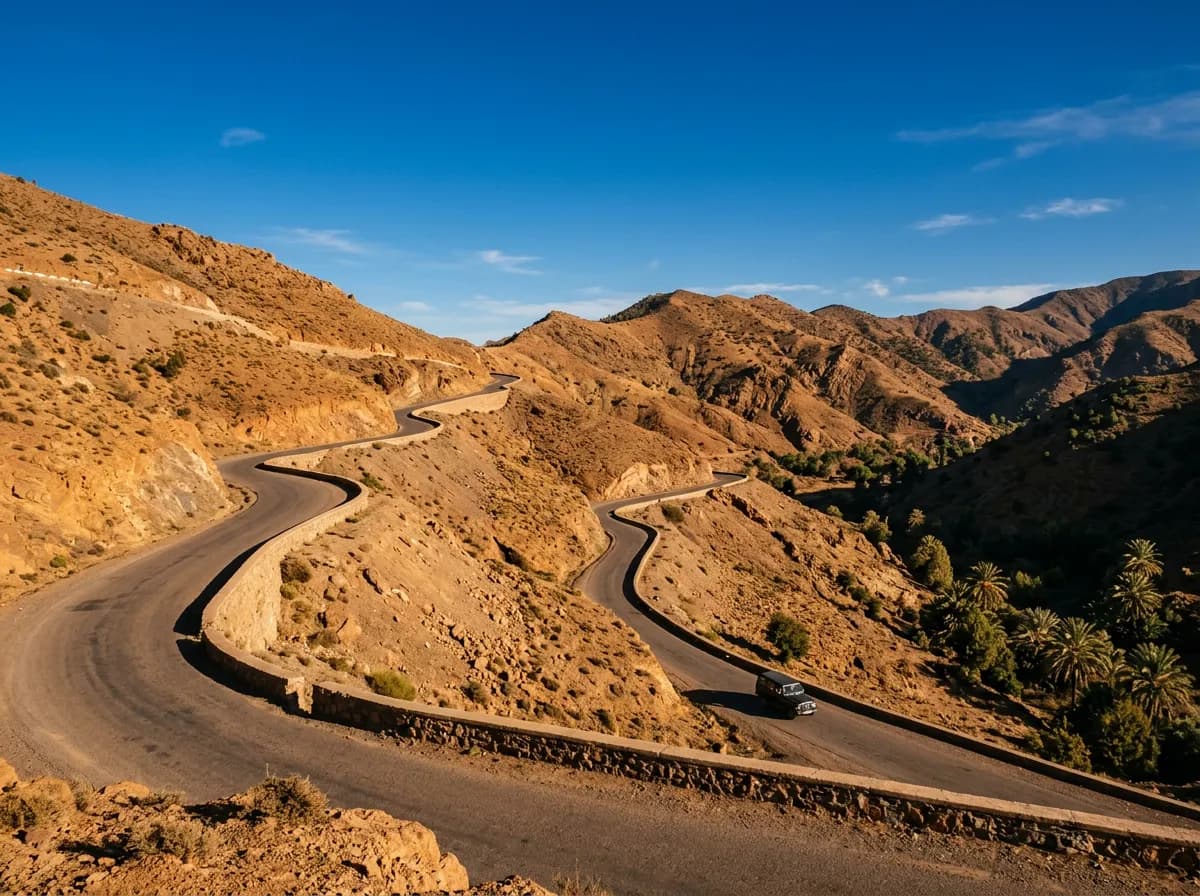
km 12
Guemassa
The last village with a fuel station and a proper shop before the piste. A working farm town on the plain, not a sight in itself — stop here for fuel and water, not scenery.
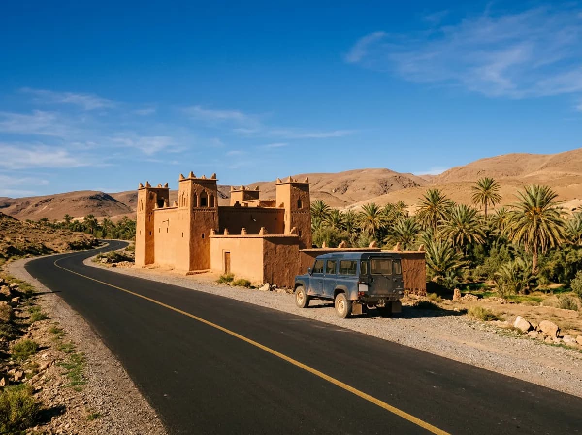
km 35
Agafay plateau
A stony hammada plain dotted with desert camps, pool clubs and quad-bike tracks, 30 minutes' drive from the last dune of any kind. Most camps offer a set lunch or dinner and a sunset viewpoint over the Atlas.
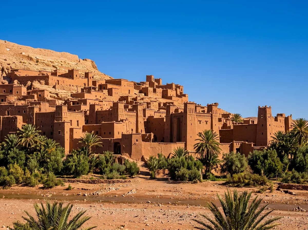
km 47
Lalla Takerkoust lake
A reservoir dammed against the base of the Atlas, 12 km beyond the Agafay turning on the same road. Kayaking and lakeside cafes make it a natural second stop on the drive back to Marrakech.
How should you plan a day trip to Agafay?
Treat it as a half-day trip with an afternoon return, or a full day if Lalla Takerkoust is added. Leave Marrakech after lunch, spend two to three hours on the plateau, and cross the piste back before dark.
13:00 — Leave Marrakech
Head out on the R203 past Guéliz. Fill the tank in the city or at Guemassa at km 12 — there is no fuel station past that point.
13:45 — Guemassa
The last shop and fuel station before the piste. Buy water here; the plateau has none beyond what the camps sell.
14:15 — Onto the piste
Turn off tarmac at the signed junction. The graded track runs 20 km to the plateau; keep speed under 40 km/h over the washboard sections.
15:00 — Agafay plateau
Arrive at the camps. Quad biking, camel treks or a pool-club lunch fill the afternoon before the light turns for sunset.
17:30 — Sunset
The stony ground and the Atlas silhouette both take on colour together. Camps schedule dinner service around this hour.
19:00 — Return to Marrakech
Retrace the piste before it is fully dark. Back in the city by around 20:00 on a direct return.
Full-day option
Add Lalla Takerkoust lake, 12 km further along the same road, for a stop by the water on the way back rather than a direct return.
Which Marrakesh Car Rental vehicle suits the drive to Agafay?
An SUV is the more comfortable choice for the graded piste, but a saloon car crosses it at low speed in dry weather. A diesel SUV holds ground clearance over the ruts and carries desert-camp gear without complaint.
- 4x4 & SUV Rental MarrakechBest pick for the piste. From €35 a day with the Dacia Duster, unlimited mileage included.
- Economy Car Rental MarrakechFine for the tarmac run to Guemassa; take the last 20 km of piste slowly. From €25 a day.
- Automatic Car Rental MarrakechRemoves the gear changes over the washboard piste sections.
- Car with Driver MarrakechFor a sunset dinner where nobody wants to drive the piste back after dark.
- Equipped 4x4 (Desert)A properly kitted 4x4 for groups going beyond the marked plateau tracks.
- Circuits from MarrakechAgafay combined with Ourika or Lalla Takerkoust as a longer loop.
What else do people ask about visiting the Agafay desert?
How far is Agafay from Marrakech?
- 35 km by road, about 45 minutes door to door. It is one of the closest desert landscapes to the city, far closer than the sand dunes at Merzouga or Zagora, both over 350 km away.
Does Agafay have sand dunes?
- No. Agafay is a hammada — a flat stony desert of gravel and dry scrub. The orange sand dunes seen in Marrakech tour photos are at Merzouga or Zagora, both a full day's drive away.
Can you drive to Agafay in a normal car?
- Yes. The R203 is tarmacked as far as Guemassa, and the final 20 km of graded piste is passable in a saloon car at low speed in dry weather. Rain leaves it rutted enough that an SUV becomes noticeably easier.
Is there a toll on the way to Agafay?
- No. The R203 is a free regional road, and no motorway serves this direction out of Marrakech.
What is the best time of day to visit Agafay?
- Late afternoon, arriving on the plateau by around 5 p.m. The stony ground and the Atlas silhouette both take on colour at sunset, and camps schedule dinner service around it.
Can you combine Agafay with another excursion?
- Yes. Lalla Takerkoust lake lies 12 km further along the same road. Half-day itineraries combine the two: desert plateau in the afternoon, lake views on the drive back.